I mentioned in my last post that Jon and I had gone on a road trip - we drove some 1,000 miles around Colorado in the span of a four day weekend, leaving on Friday after work.
The first night we drove for a few hours and camped in the Arkansas River Headwaters State Park. It was very, very busy and we were so lucky to even get a campsite. And, of course, it was just in time because I was starting to get rather cranky and tired!
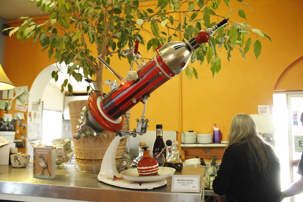
The next day we ended up stopping at a little cafe in the mountains owned by two of the most spectacular people. They made us breakfast and we poked around their cafe and shop for awhile. I wish I could remember the name of the place so I could recommend it to you! Unfortunately my memory fails me but if you ever stumble across a bright yellow cafe don't hesitate to stop in.
After a good and hearty breakfast we headed across the continental divide...
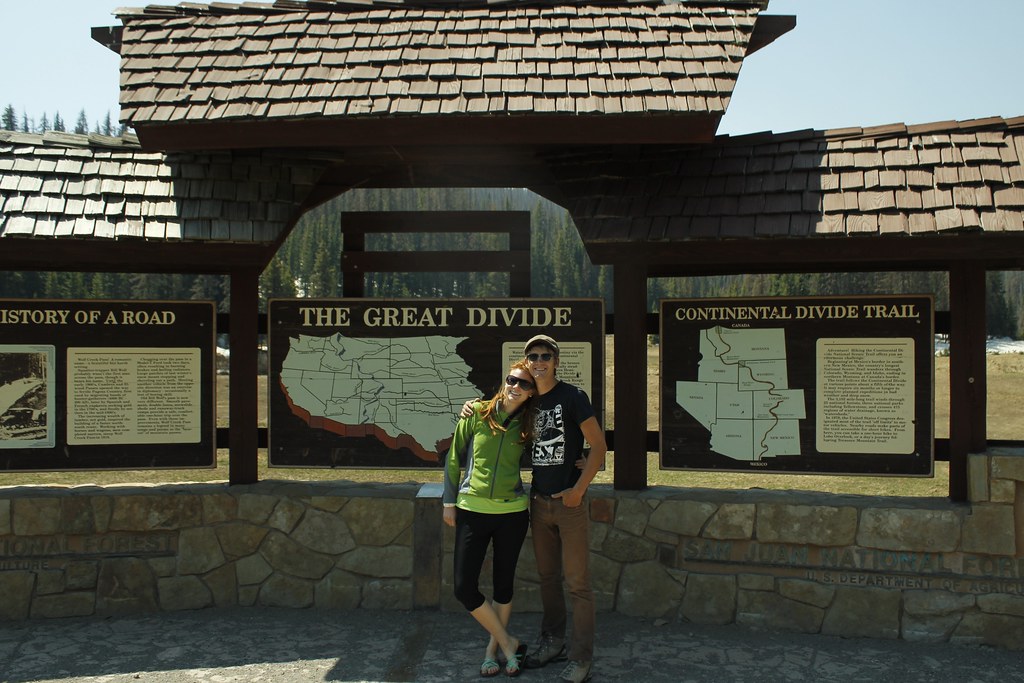
...and meandered our way down the winding road into the most beautiful valley.

After that, though, we just drove straight through to Cortez, CO, which is very near Mesa Verde.
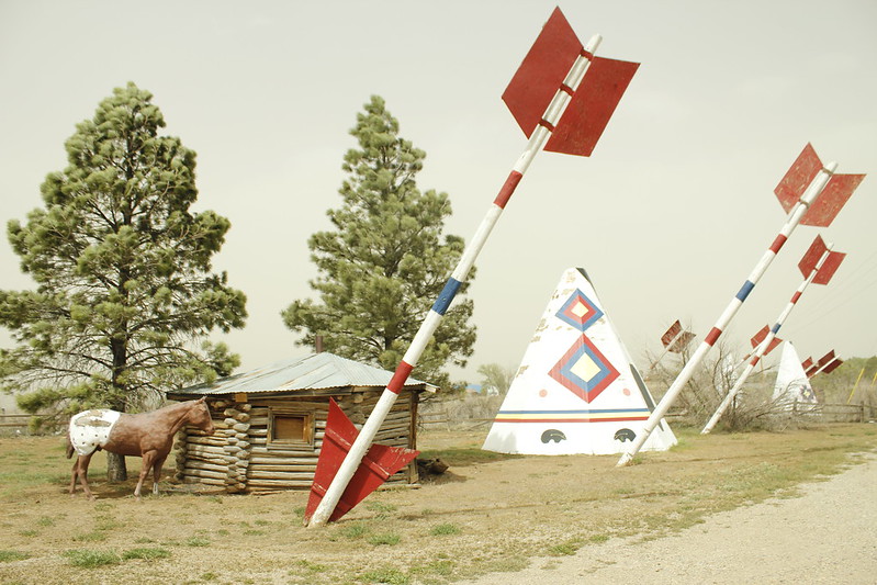
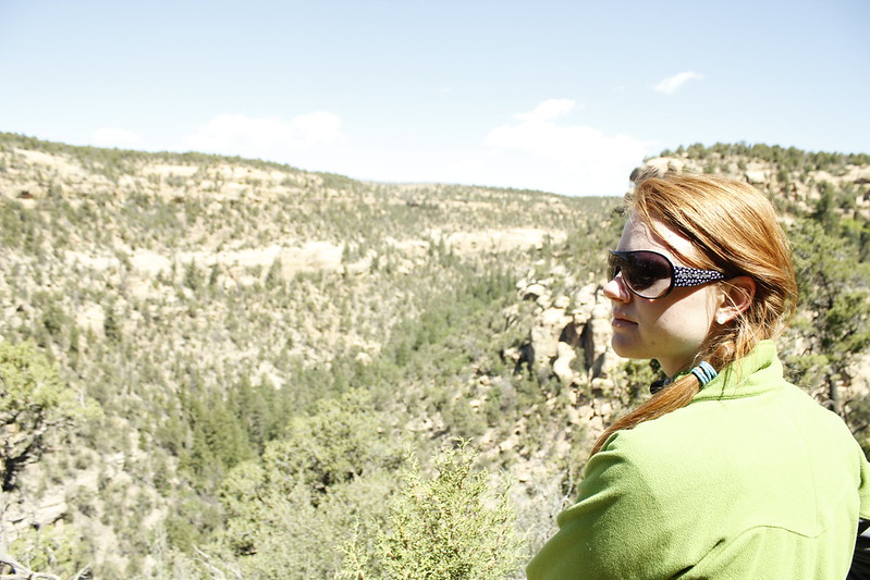
One of my favorite things about Colorado is the Old West Kitch that is still leftover - this trip didn't have very much of it because we didn't go looking for it but this old gift shop, filled with huge arrows and pretend Teepees did the trick! I'm not sure if you can see how grey the sky is - this picture was probably taken at about 3:00 PM. The winds were gusting at 70 miles per hour and the smoke from the 280 square mile fire in New Mexico, some 400 miles south, was invading Mesa Verde. We were very concerned that we wouldn't be able to see anything all weekend and we had to drive with the internal air circulating in the car to try to keep the soot and smoke out of our eyes.
We paid the $28 odd dollars to camp in Mesa Verde - very expensive! Most of our camping is under $16 a night! Mesa Verde's campground was huge - almost 300 spaces for camping, showers, a store, a pancake breakfast in the morning, and more RVs than I have ever seen in one place before!
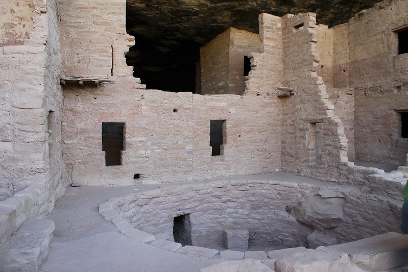
The next day the winds died down and we were able to do some hiking along the Petroglyphs Trail (no, we could not find any petroglyphs!) that circles the mesa, and hike down to one of the 800 year old cliff dwellings. Those things are so amazing - the masonry is beautiful and I was just amazed at how teeny tiny the people who lived in those houses were!
We also went on the balcony house tour, which the guide jokingly (or not so jokingly) refered to as "The Indiana Jones Tour." People who go on this tour climb down a long metal staircase, up a 32 foot ladder, crawl through two teeny tiny tunnels (about 12 feet long, 2 feet high, 18 inches wide...) up another 20 foot ladder, some stairs carved into the cliff side (there are chains to hang onto) and finally up another 20 foot ladder. Did I mention this was done all while hovering 600 feet above the mesa floor?
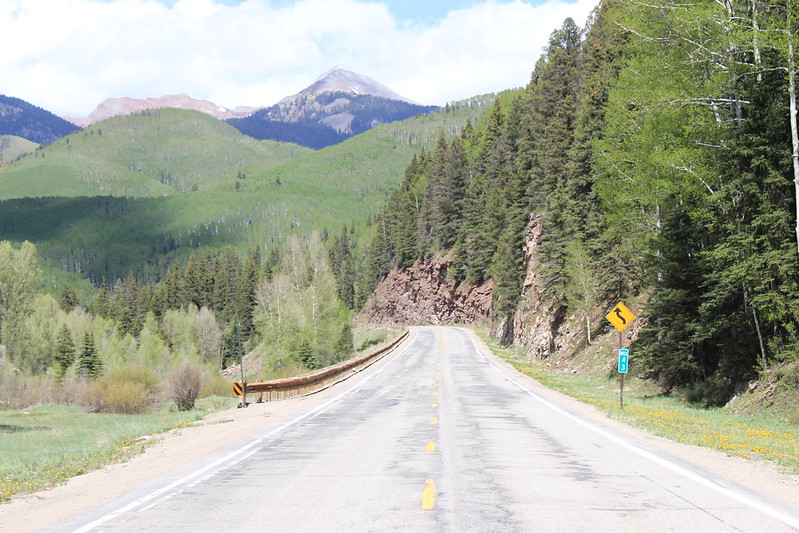
After that tour we hightailed out out of there through some of the most beautiful countryside on God's Green Earth...
We stopped here and there to take pictures and also to hike short distances on trails (by this time I really needed a nap so I was just about useless to go up anything significant.)

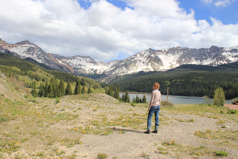
(I'm just going to let you stare at what I was staring at for most of the trip - what a fantastic bit of Earth!)
We eventually made it to Black Canyon of the Gunnison National Park and we camped there. It was kind of a strange night for me - too many noises outside my tent and it had dropped below freezing and I was very cold - I didn't rest well but we got up bright and early anyways and applied for a backcountry permit to go down into the Canyon itself.

(Warning: Mom don't read this part :)
This particular canyon doesn't have a trail down - instead there are "routes" which are basically suggestions about how to get down and unimproved trails. Getting down was insane. It was less than a mile with an 1800 foot elevation change. I spent most of the trip down climbing backwards or doing a dry version of a glissade (which is a mountaineering term for scootching down on your rear on snowpack - sometimes faster and easier than climbing) down the scree and tallis fields. We took the easiest route and the trip down took about two hours of very strenuous technical hiking and about an hour and a half up of hands and knees climbing.
The route is not well marked and there were a few sketchy moments where we found ourselves in loose tallis having to reroute ourselves on nearly vertical terrain. The worst part (I would say it was class 5.5 technical climbing - easy when you're roped in, scary when you're loose) had a chain for you to hang onto to assist in getting up. Also, you had to be careful of rock falls and if you moved a rock and it started rolling down you had to yell "Rock!" to warn anyone below you that there was falling rock. I don't think you quite need a helmet for this route, but if you do this hike please be aware of your spacing - don't climb directly below or above anyone!

We later found out that less than 500 people a year make the trip down this canyon - and I am not surprised at all. This is a serious hike! I climbed a 14,000 foot mountain today (more on that later) and with the exception of the Altitude headache I got Gunnison's Canyon was far more difficult.

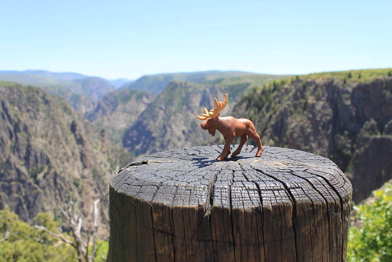
Finally, here is a picture of Pamplemousse, our new hiking mascot. We found him during our hike in Gunnison and I'm going to see how many different fun hikes I can take him on!

0 komentar:
Posting Komentar